
Marine Aircraft Group 13 Operations at Chu Lai
Archival evidence shows that in the final seventy-two hours of April 1968, command directives handed Marine Aircraft Group 13 an unworkable deadline. Group leadership received orders demanding that every non-mission-capable airframe achieve operational status before an anticipated North Vietnamese offensive across Quang Tin Province. Intelligence summaries warned that infantry formations from the 2nd Division of the People's Army of Vietnam were advancing toward positions around Tam Ky and the coastal plains. This initiated a rigid countdown for the base. Marine planners at Chu Lai faced projected flight schedules requiring continuous combat air patrols and armed reconnaissance. Thirty-four percent of the assigned McDonnell Douglas F-4B Phantoms sat disabled in open revetments. Maintenance crews were given less than two days to rectify deep component backlogs. They had to clear hydraulic system faults and calibrate fire-control radars before the operation commenced.
The preparation window closed before critical replacement components cleared the supply depots at Da Nang.
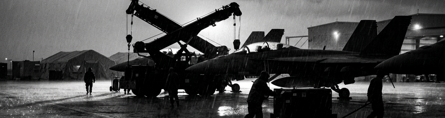
A close review of operational logs indicates that when the enemy May Offensive opened on May 5, Headquarters and Maintenance Squadron 13 entered a state of sustained technical triage. As the intermediate maintenance unit supporting Marine Aircraft Group 13, the squadron serviced the F-4B Phantoms of VMFA-115, VMFA-314, and VMFA-323. Enemy gunners launched daily salvos of 122mm rockets and 140mm artillery from surrounding hill positions. These strikes targeted the taxiways and maintenance areas. Flight lines operated without pause. Command demanded forty-minute turnarounds on aircraft returning with battle damage from missions across the I Corps Tactical Zone. Technicians worked twelve-hour shifts inside non-air-conditioned mobile vans situated adjacent to the AM-2 aluminum runway matting. They were continually deafened by J79 turbojet afterburners and detonating ordnance. Flight line armorers hoisted Mk 82 five-hundred-pound bombs and LAU-10 rocket pods by hand onto bomb racks. Shrapnel scored the concrete revetment walls.
Expediency superseded standard Naval Air Systems Command maintenance procedures.
When examining the historical record of equipment reliability at Chu Lai, the physical environment destroyed sensitive systems at high rates. Chu Lai Air Base occupied an exposed sand spit directly on the coast of the South China Sea. Salt-saturated maritime winds blew inland across unshielded aircraft bays. Relative humidity routinely climbed past ninety-five percent during the seasonal monsoon transition. This drove moisture into unsealed airframe compartments. Inside the AN/APQ-72 radar sets and airborne weapon control packages, microscopic salt crusts bridged the silver-plated and copper pins of electrical connectors. This caused recurrent short circuits and inaccurate target tracking. Optical reconnaissance gear experienced immediate degradation. Moisture condensed between the double glass elements of aerial lenses. Tropical fungus colonized the camera optics within forty-eight hours of exposure to ambient air.
Film stocks assigned to tactical reconnaissance suffered emulsion softening in the damp heat.
The film swelled in camera magazines and snapped under motorized transport drives. Intermittent rocket strikes regularly blew clouds of corrosive pulverized sand and iron shrapnel through maintenance tents. This perforated radar radomes and misaligned the optical benches used to collimate aircraft cameras. On May 10, maintenance logs recorded four consecutive aerial camera suites rejected after condensation fused their shutter mechanisms.
Sensor Calibration Adjustments for Combined Allied Missions
Archival evidence shows that mid-May operational requirements forced a rapid shift in reconnaissance priorities. Command elements at Military Assistance Command Vietnam ordered Marine Aircraft Group 13 to support the Republic of Korea 2nd Marine Brigade. The South Korean units were conducting aggressive sweep operations south of Hoi An. They required immediate high-resolution aerial intelligence to track North Vietnamese troop movements through the dense canopy. Standard daytime optical photography proved insufficient under the heavy monsoon cloud cover. Headquarters and Maintenance Squadron 13 received urgent directives to integrate forward-looking infrared sensors into their daily sortie generation.
This mandate required hardware modifications that standard depot manuals did not cover.
A close review of operational logs indicates that technicians had to synchronize the AN/AAS-18 infrared sets with the existing KS-87B camera systems. The goal was to overlay thermal signatures directly onto the topographical film negatives. The Republic of Korea commanders needed exact grid coordinates for artillery fire support. The existing avionics architecture of the F-4B Phantom did not support simultaneous data transfer between the thermal imaging pod and the central navigation computer without a factory-installed interface unit. Supply officers at Chu Lai requested the necessary interface modules from the Naval Supply Depot in Subic Bay. The estimated delivery time exceeded three weeks.
The tactical situation on the ground could not wait for standard supply chains.
Squadron avionics chiefs authorized a field-expedient wiring modification to bypass the missing interface units. Maintenance personnel opened the forward equipment bays and spliced the analog output cables of the infrared sensors directly into the digital input bus of the AN/ASN-46 navigation system. They used standard mil-spec copper wire and heat-shrink tubing to bridge the connection. The modification allowed the thermal imaging data to record alongside the optical photographs. It also fed the combined sensor telemetry into the aircraft targeting computer. Ground tests conducted inside the maintenance revetments showed positive data flow. The thermal signatures appeared clearly on the test oscilloscopes.
The technicians closed the avionics panels and cleared the aircraft for flight.
When examining the historical record of this specific modification, the rushed splicing process omitted a critical electronic component. The factory interface units contained specialized ground-isolation chokes designed to filter out voltage fluctuations. The field-expedient splices lacked these chokes. This left the entire navigation circuit vulnerable to electrical interference generated by the infrared sensor pod. The maintenance crews lacked the diagnostic equipment to detect this vulnerability on the ground. The stationary test benches only measured static voltage levels. They could not simulate the complex electrical loads experienced during high-speed tactical flight.
Coordinate Computer Drift and Reconnaissance Blind Spots
Archival evidence shows that the field-level modifications compromised the internal signal integrity of the AN/ASN-46 navigation systems. The missing ground-isolation chokes caused minor electrical impedance fluctuations between the analog sensor inputs and the digital ballistics computing circuits. During normal straight-and-level flight, the error was minimal. It barely registered on flight line test benches. When aircraft entered standard reconnaissance profiles requiring sharp tactical turns and rapid elevation shifts through the mountain gaps west of Chu Lai, the modified sensor packages introduced an undetected drift into the targeting coordinate computers.
Internal integration amplifiers accumulated micro-volt calculation errors with every sustained bank angle.
Gyroscopic drift increased by hundreds of yards after every turn.
A close review of operational logs indicates that the drift went unflagged because pre-flight and post-flight ground tests occurred while the jets sat dead-level on concrete maintenance pads. Squadron radar technicians plugged portable test sets into the wheel-well access ports. Stationary voltage readings fell cleanly within established depot tolerances. In the air, the situation degraded by the minute. As reconnaissance aircraft tracked across the rugged ridgelines of Quang Tin Province, the central computer recorded navigational waypoints that crept progressively away from the true flight path. Pilots completed thirty-minute observation runs believing their sensors surveyed assigned ground sectors. They were unaware that the data recording system logged camera exposures and radar sweeps against map coordinates that were shifting steadily eastward across Allied reference grids.
Targeting computers fed clean data to completely wrong map locations.
When examining the historical record of aerial intelligence gathered during mid-May 1968, the resulting data skew