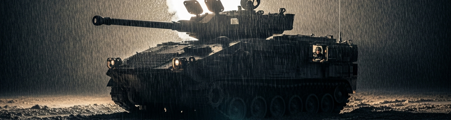

The Arsenal on the Edge of the Bog
US Army Field Manual 5-101 was a document of mechanical certainty. It promised a swift, mechanized breach, a process of explosive power and armored momentum designed to tear open a Warsaw Pact front. The men of the 249th Engineer Battalion, shivering in the freezing October rain of 1979, found themselves confronting a different reality. They were swallowed by the mud of the Schwarzwald during the V Corps exercise, Operation Autumn Forge. Doctrine called for engineers to clear a path one hundred meters long in minutes. The sodden, peat-like ground of the West German forest floor, however, did not adhere to doctrine. The plan, conceived in dry headquarters miles from the front, began to disintegrate the moment steel tracks met the saturated earth.
The first sign of systemic breakdown involved the M58 Mine Clearing Line Charge systems. A review of operational logs from Charlie Company (USAREUR AAR 79-AF-ENG-249) shows their M113 Armored Personnel Carriers, tasked with towing the 2.5-ton M200A1 trailers, became hopelessly mired. The low ground pressure of the M113 was normally an asset. In the swampy terrain near the Kinzig river valley, the additional dead weight of the MICLIC trailer proved to be a fatal miscalculation. The APCs dug themselves into the mud, their tracks spinning without purchase. Under pressure from a battalion command hounded by V Corps for progress reports, the company commander made a costly decision. He ordered his engineers to dismount and attempt to manually reposition the 3,500-pound MICLIC trailer. The effort was futile against the sucking mud and resulted only in exhaustion and several simulated injuries, taking the breach team out of the exercise. A second MICLIC team attempted a launch despite their towing vehicle sinking. The unstable platform sent the MK22 rocket skyward at a useless angle. Its 350-foot line charge of C-4 explosives landed in a tangled heap far from the intended minefield.
The breach was failing.
With the mine-clearing effort stalled, the task fell to Bravo Company to bridge a rain-swollen creek bisecting the planned axis of advance. Their primary tool was the M60 Armored Vehicle Launched Bridge, a 57-ton chassis designed to deploy a 60-foot scissor bridge in under three minutes. Like the M113s, the heavier M60-based vehicle was no match for the terrain. The vehicle, call sign Bridge-One-Actual, approached the creek bank as per doctrine. As the crew initiated the hydraulic launch sequence, the vehicle’s right track sank nearly two feet into the collapsing earth. The sudden, uncorrected tilt placed immense stress on the hydraulic launch arms. Metal groaned and the deployment mechanism jammed. The massive bridge was left suspended at a twenty-degree angle, one end pointing at the sky and the other buried in the muddy bank. The crew was helpless. Recovery of the vehicle itself would become an all-day affair.
The final element of the breach force, the M728 Combat Engineer Vehicles of Alpha Company, were meant to reduce simulated concrete obstacles just beyond the creek. These vehicles, also based on the M60 chassis, suffered the same fate as the AVLB. Archival evidence shows that three of the company’s five CEVs became immobilized in the bog more than 500 meters from their objectives. This was well outside the 925-meter maximum effective range of their 165mm demolition guns. Unable to bring their primary weapon to bear, the engineers were ordered to proceed on foot, carrying satchels of Class V explosives. These dismounted teams were ruled as having sustained massive notional casualties from defending forces. The 45-minute objective timeline spiraled into a seven-hour debacle. In a profound display of the headquarters' isolation, operational logs show the battalion command post repeatedly demanding ammunition expenditure reports for the M728’s 165mm guns, weapons that sat silent and cold, their barrels aimed uselessly at the German sky.
The Disconnect at Command
Miles from the mud of the Kinzig river valley, the senior leadership of the 7th Army directed the battle from deep within a converted German bunker complex near Stuttgart. This was not a temporary tactical operations center. It was a permanent, multi-level subterranean fortress of reinforced concrete, a relic of a previous war repurposed for the Cold War. Inside, a constant hum of air filtration units and electrical generators provided the background noise. There were no windows. The only connection to the outside world was through the crackle of radio handsets and the incessant clatter of teletype machines printing dispatches on long rolls of paper. Operational timelines, unit locations, and status reports were plotted by hand on massive plexiglass maps. The grease-pencil markings were illuminated by the cold, sterile glow of fluorescent lights. This physical and sensory isolation created a psychological disconnect. For the colonels and generals of 7th Army, the torrential October rain and the sodden ground their troops were fighting on were abstract concepts, not immediate physicalities.
The truth of the terrain was available.
Archival analysis of the intelligence materials provided to the corps headquarters reveals a wealth of detailed information that should have averted the engineering debacle. Specifically, a series of topographical and geological survey documents, known as the 'German Guides 81-84', were provided by the Bundeswehr as part of the exercise planning package. These were not simple maps. They were exhaustive technical manuals filled with data essential for military engineering. 'German Guide 83', covering the specific operational area of the 249th Engineer Battalion, contained detailed charts on soil composition, identifying large swaths of the Black Forest floor not as generic soft ground but as acidic peat bog. The guide included hydrological tables predicting seasonal water levels and, most critically, provided soil load-bearing capacity ratings measured in pounds per square inch (PSI). These were the raw, empirical facts of the battlefield.
Those facts never reached the commander in a meaningful way. A close review of the exercise’s operational planning logs indicates a catastrophic failure in how this intelligence was processed. The G-2 (Intelligence) and G-3 (Operations) staff sections were composed almost exclusively of armor and infantry officers with no formal engineering training. Tasked with briefing the commanding general, these non-specialist staff officers filtered and summarized the dense, technical data from the German Guides into digestible, but dangerously oversimplified, formats. The fifty-page 'German Guide 83', with its complex soil mechanics charts, was distilled into a single acetate overlay for the main battle map. On this map, the treacherous peat bogs identified in the guide were simply colored amber and labeled 'Soft Terrain.' The critical, numerical PSI ratings were completely omitted. The commanders looking at this map saw a patch of difficult ground that might slow them down. They were completely blind to the fact that the guide’s data indicated the ground could not support the 12.2 PSI ground pressure of an M60 AVLB with its bridge. The decision to route the main armored thrust directly through this area was made because it was the most direct path on that simplified map, a choice born from the sterile isolation of the headquarters bubble.
A Timeline Against Reality
The simplification of intelligence directly fueled the creation of a command-imposed, unrealistic timeline. The operations order, drafted based on the flawed headquarters assessment, allocated a mere 45 minutes for the 249th Engineers to breach the entire obstacle belt, including the 'soft terrain' crossing. This schedule was built on the assumption that the ground would, at worst, slow the armored vehicles, not consume them whole. The G-3 planners at Corps, viewing their simplified map, saw the most direct route and assumed standard doctrinal speeds, minus a minor frictional delay.
Archival radio logs from the morning of the exercise paint a grim picture of this disconnect. The 249th Engineer Battalion commander repeatedly tried to communicate the impassable nature of the ground. His reports were met with incredulity and thinly veiled accusations of poor leadership from a Corps staff who believed they were merely dealing with mud. The pressure intensified as the 3rd Armored Division’s lead elements began stacking up behind the stalled engineers, creating a massive, notional bottleneck vulnerable to simulated artillery fire. The entire operational tempo of the V Corps maneuver plan was predicated on a timeline that ignored the fundamental geomorphology of the Black Forest.
The ground did not care about the plan.
The Quagmire on PSR Colorado
The task fell to the 249th Engineer Battalion (Combat). Their mission was to force an opening through the dense woods and establish Primary Supply Route (PSR) Colorado, the designated artery for the main armored thrust of the 3rd Armored Division. In the context of V Corps’ operational plan, this was not a secondary effort. It was the prerequisite for the entire exercise. After-action reports show that their initial deployment into the Kinzig river valley began exactly as doctrine prescribed. Lead elements, consisting of M113-based M548 cargo carriers and their assigned engineer squads, pushed off the line of departure at 0400 hours under a steady, freezing rain. The objective was to clear a path, improve the existing dirt track, and ensure the roadbed could sustain the weight of the follow-on M60 Patton tanks and M109 self-propelled howitzers.
The ground was not ready.
A perpetual downpour had turned the Black Forest into a labyrinth of shadow and water. Visibility dropped to less than ten meters, a disorienting gray sheet that isolated vehicles from one another. Standard night vision devices of the era proved nearly useless, their passive image intensification overwhelmed by the lack of ambient light and the distorting effect of the rain. To compensate, commanders authorized the use of M127A1 parachute illumination flares. These magnesium-based pyrotechnics descended slowly, casting a blinding, 160,000-candela glare that bleached the color from the world. Instead of providing clarity, the flares created a landscape of strobing white light and deep, dancing shadows. Trees and equipment appeared to leap out of the darkness, only to vanish again into the gloom. This erratic illumination made judging distances impossible and induced vertigo in the dismounted troops attempting to guide the vehicles. The intense white light silhouetted every soldier and piece of equipment, making them perfect notional targets for any opposing force.
The primary supply route dissolved almost immediately. The first M548 cargo carrier, loaded with Class IV construction materials, slid off the track and sank up to its hull in what was assumed to be a firm shoulder. Its tracks, designed for good mobility over rugged terrain, were instantly rendered useless by the thick, sucking mud that clogged the drive sprockets. A second vehicle attempting to bypass the first met the same fate, its left track slipping into a hidden, water-filled ditch camouflaged by fallen leaves. A review of the operational logs indicates that within the first hour, a traffic jam stretching over a kilometer had formed. Recovery attempts only compounded the disaster. A heavy D7 bulldozer, brought forward to extract the lead M548, threw a track after its own right side collapsed into a soft shoulder that looked solid under the flickering flare light. The very act of trying to clear the route was destroying it, churning the saturated peat and clay into an impassable trench. By sunrise, PSR Colorado was not a road. It was a linear trap of immobilized engineer vehicles.
The Failure of Recovery
The call for heavy recovery assets went out over the 249th Engineer Battalion’s command net just after sunrise. An M88 Recovery Vehicle, call sign Bad News, was dispatched to extract the D7 bulldozer. The M88, a 56-ton vehicle based on the M60 tank chassis, was the heaviest recovery asset available to the engineers. It arrived on the scene, its own diesel engine straining as it churned through the deepening muck. A close review of operational logs indicates the crew attached the D7 to their main 41-ton capacity winch and began the pull. The M88’s tracks, exerting nearly 10 pounds per square inch of ground pressure, immediately began to lose their fight with the terrain. To gain leverage, the operator dropped the front-mounted spade blade to anchor the vehicle. The hydraulic spade just pushed deeper into the semi-liquid peat. The M88 sank. Its winch screamed under the load, pulling against a dead weight held fast by the suction of the bog, until the M88 itself was buried up to its sponsons. Its recovery mission was a failure.
A second M88, the battalion’s only other heavy recovery vehicle, was ordered forward.
This decision, born of desperation and pressure from higher command, proved catastrophic. The second M88, attempting to find a solid flanking position from which to pull out the first, misjudged the route’s shoulder. Its right-side tracks slid into the same leaf-camouflaged ditch that had claimed an M548 hours earlier. The massive vehicle listed hard to starboard and became hopelessly bellied on the track’s edge. With both of the battalion’s M88s now immobilized, the primary recovery assets were themselves casualties of the bog. They now formed a near-insurmountable obstacle, completely sealing the narrow forest track.
PSR Colorado was now blocked for eleven critical hours. Behind the two dead M88s and the mired D7, the lead elements of the 3rd Armored Division’s 1st Brigade sat idle, a column of M60 tanks and M113 personnel carriers stretching back for kilometers. They were perfect targets, notionally destroyed in place by simulated opposing force artillery strikes that exercise umpires ruled devastatingly effective. The entire operational timetable for V Corps' main thrust had depended on this single route.
The commanders were blind.
A technical analysis of the communications logs reveals the profound disconnect between the tactical situation and the headquarters element. Reports from the 249th’s commander, transmitted over a single-channel FM radio network, were sporadic and plagued by interference from the dense, wet foliage and rolling terrain. The AN/PRC-77 man-pack radios had a greatly reduced range in these conditions. What did get through painted a picture so dire it was met with disbelief. The brigade command post, miles away in a dry, heated tent, saw PSR Colorado as a solid red line on their acetate map. Their refusal to authorize a bypass route stemmed from an inability to visualize a complete terrain failure. Their orders, captured in the logs, were simple and repeated: clear the route. They could not understand that the tools for clearing the route were now the blockage itself. This information vacuum created a feedback loop of pressure, as brigade hounded battalion for progress, which in turn was being hounded by a V Corps headquarters completely insulated from the physical world their soldiers were drowning in.